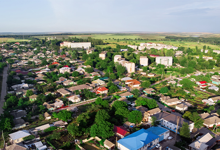
The rates of Ready Reckoner (RR) for residential or commercial properties are probably more realistic with GIS mapping of all land parcels probably finished by January. The state registration department official said “Integrating the registration website with the GIS (Geographical Information system) will surely ensure better assessment of value zones ahead of the RR rates next year. “With the help of Maharashtra Remote sensing Application Centre (MRSAC), work on mapping of all the land parcels in rural areas”, he added.
The Ready Reckoner (RR) rates are standard property rates of residential and commercial properties or land which was set by the government after the assessment. The rates of the properties and lands are announced at the beginning of the financial year.
Abhishek Deshmukh, Deputy Inspector general (IT) stated, “Work on mapping of land parcels has been completed for 19 districts and the rest of the districts will cover shortly”. Based on the data & information available in registration department, the land parcels in Pune, Jalgaon, Nanded, Beed and Parbhani have been mapped already.
He further added “The geospatial technology would greatly help the core administration department to estimate the RR values based on the accurate geographical location of the properties or lands in a scientific way”, According to him, the data of GIS on village cadastral maps, highways and the census of population 2011 would be taken & referred to generate the value zones for assessments of RR rates or ASR (Annual Statement of Rates).
“The citizens are able to have an access to check the rates of any land parcel by zooming the respective location on the area”, the official said. Consumer activists S. Joshi said, “The step of geoportal providing the details & RR rates & flat prices of properties or land will greatly help all the citizens. The scientific evaluation will also ensure the rates are randomly published”.
We use cookies to ensure you get the best experience on our website. Read more...
Copyright © 2026 HomesIndiaMagazine. All Rights Reserved.